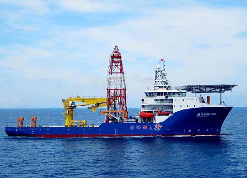
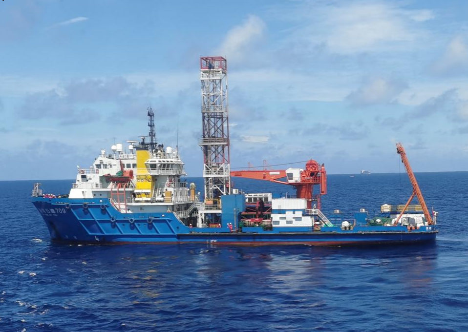
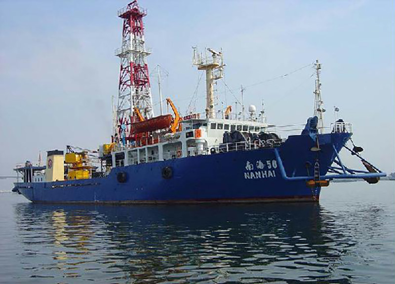
COSL has been involved in offshore survey and geotechnical investigation industry since 1976, and has accumulated rick experience in providing comprehensive geoscience solutions for our clients. By the end of 2016, more than 360 offshore oil & gas field development survey projects and more than 2500 well site survey projects have been performed successfully. Currently, COSL operates four specialized offshore engineering survey vessels equipped with state-of-the–art survey spreads, including geophysical survey equipment, geotechnical drilling& sampling system, PCPT& SCPT system, environmental survey equipment, and accredited soil laboratory, etc. With cutting edge technology and our expertise, COSL can provide geotechnical solutions in water depths up to 3,000 meters and an integrated service from project design to data acquisition, processing, interpretation, engineering analysis, and engineering reports.
The main services include:
· Offshore geophysical site survey: bathymetry; topographic; sub-bottom profiling; digital seismic profiling; and magnetic surveying
· Offshore geotechnical investigation: drilling and sampling; gravity coring; in-situ testing (cone penetration testing, vane shear, T-bar, shear wave velocity testing, etc.), laboratory soil testing; geotechnical engineering analysis and assessment (for fixed platform, mobile drilling platform, submarine pipeline, subsea structure, etc.)
· Marine environmental investigation: tidal current and tidal level observation and analysis; water temperature and mud temperature measurement and analysis; investigation and evaluation of corrosion factors in seawater and sediment
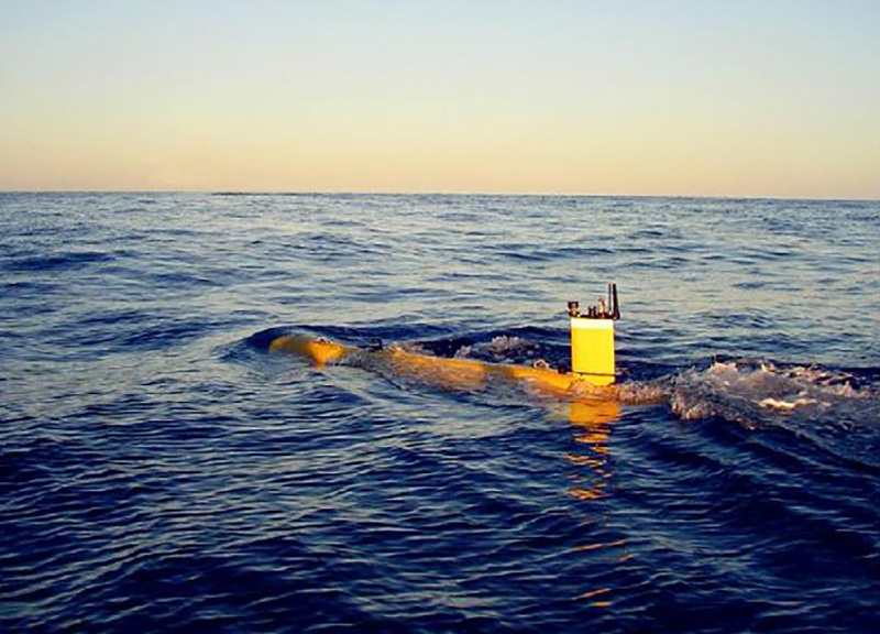
· Deepwater Engineering Survey –The survey of Deep towed system, ROV, AUV, Deepwater Seabed CPT、Deepwater Borehole Sampling、JPC, and related assessment.
· Offshore engineering support: vessel support services (IMR projects; ROV operation; and Saturation diving)
· Consulting: engineering survey planning and design; engineering computing; feasibility studies for offshore construction; other offshore/onshore engineering survey technical services